
 Credit: WIRED
Treepedia: a database of urban greenery ranks cities
Forget counting parks – a database of urban greenery ranks cities based on how leafy they look to residents.
Researchers are already using satellite imagery to estimate the number of trees in cities, but Newsha Ghaeli, a research associate at MIT’s Senseable City Lab, wanted to analyse residents’ perspectives. She called her analysis Treepedia. “It’s important to understand the amount of trees and canopy cover from the street, as that’s what we perceive to be in cities,” Ghaeli said.
To create the greenery maps, Ghaeli’s team feed images from Google Street View into an algorithm that estimates what percentage of each image consists of trees. Plotting these scores on a map determines the leafiness of street.
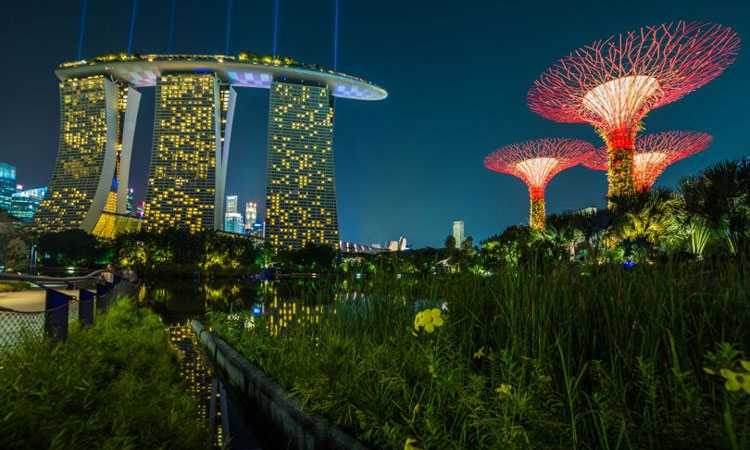
The results can be combined to give each a Green View Index (GVI) – Ghaeli’s rating of how leafy each city is on a street level. Singapore tops the table with a GVI of 29.3% with Sydney and Vancouver close behind. At the greyer end of the scale, Paris scores a paltry 8.8%.
Lower amounts of city greenery have been linked with higher stress levels, so the analysis may offer health insights. “We’re working on cities in Asia and Australia,” Ghaeli said – but she can only analyse areas with Street View images, which rules out China and India.
The world’s ten greenest cititues by Green View Index
- Singapore
- Sydney
- Vanoucver
- Cambridge
- Durban
- Scaramento
- Johannesburg
- Frankfurt
- Geneva
- Amsterdam
- Seattle
- Toronto
Comments are closed, but trackbacks and pingbacks are open.