


It has been announced by Hexagon’s Geosystems division that the HxGN Content Program, providing access to ortho imagery for professional use, is releasing about a quarter million square kilometers of new 15cm resolution aerial imagery of metropolitan centers and more than four million kilometers squared of 30cm resolution coverage of the United States.
The latest collection covers 15cm resolution aerial imagery data equaling 244,091.97km2 of urban locations and another 4,218,843.76km2 of 30cm resolution coverage of 26 states in the US.
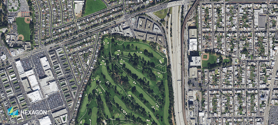
The HxGN Content Program refreshed the coverage of more than half of the country with a focus on the states of California, Texas, Virginia, New Mexico, Maine and major cities in the Southeast. The data is available for purchase or on a yearly subscription model and can be used in any third-party software or enterprise application via WMTS or WMS protocols.
“For the last five years, through our HxGN Content Program, we have been giving our customers unique capabilities and insights, enabling a new era of airborne imagery information,” said John Welter, Hexagon’s Geospatial Content Solutions President. “We have a highly-skilled team of mapping professionals who quality control the data, providing an orthophoto map of the United States of unmatched quality and positional accuracy.”
Launched in June 2014, the HxGN Content Program, provides geospatial content and delivers professional-grade airborne images captured with Leica Geosystems’ airborne sensors.
Understanding the importance of an accurate and up-to-date environment and resources, with the release of the new data sets of 15cm and 30cm resolution, GIS professionals can access updated aerial imagery to be used in various applications serving a variety of industries, including construction, oil and gas, utilities, forestry, insurance, safety and security, and government projects.